Real Estate Drone Flights That Put Photography First

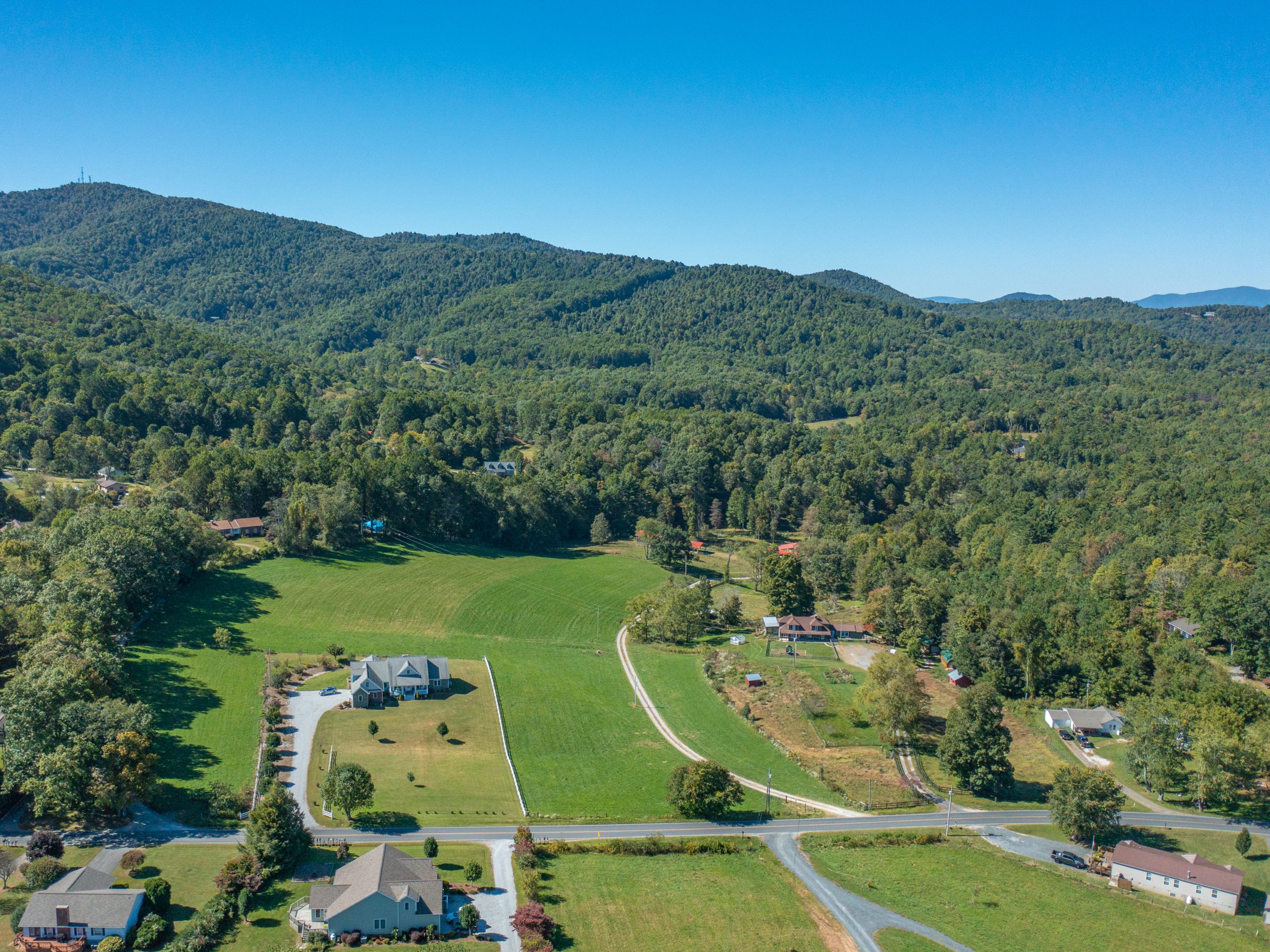
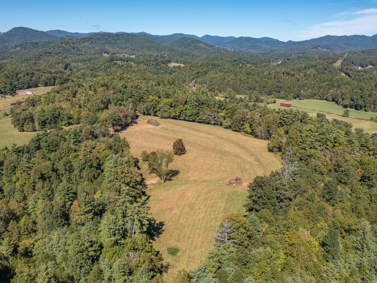
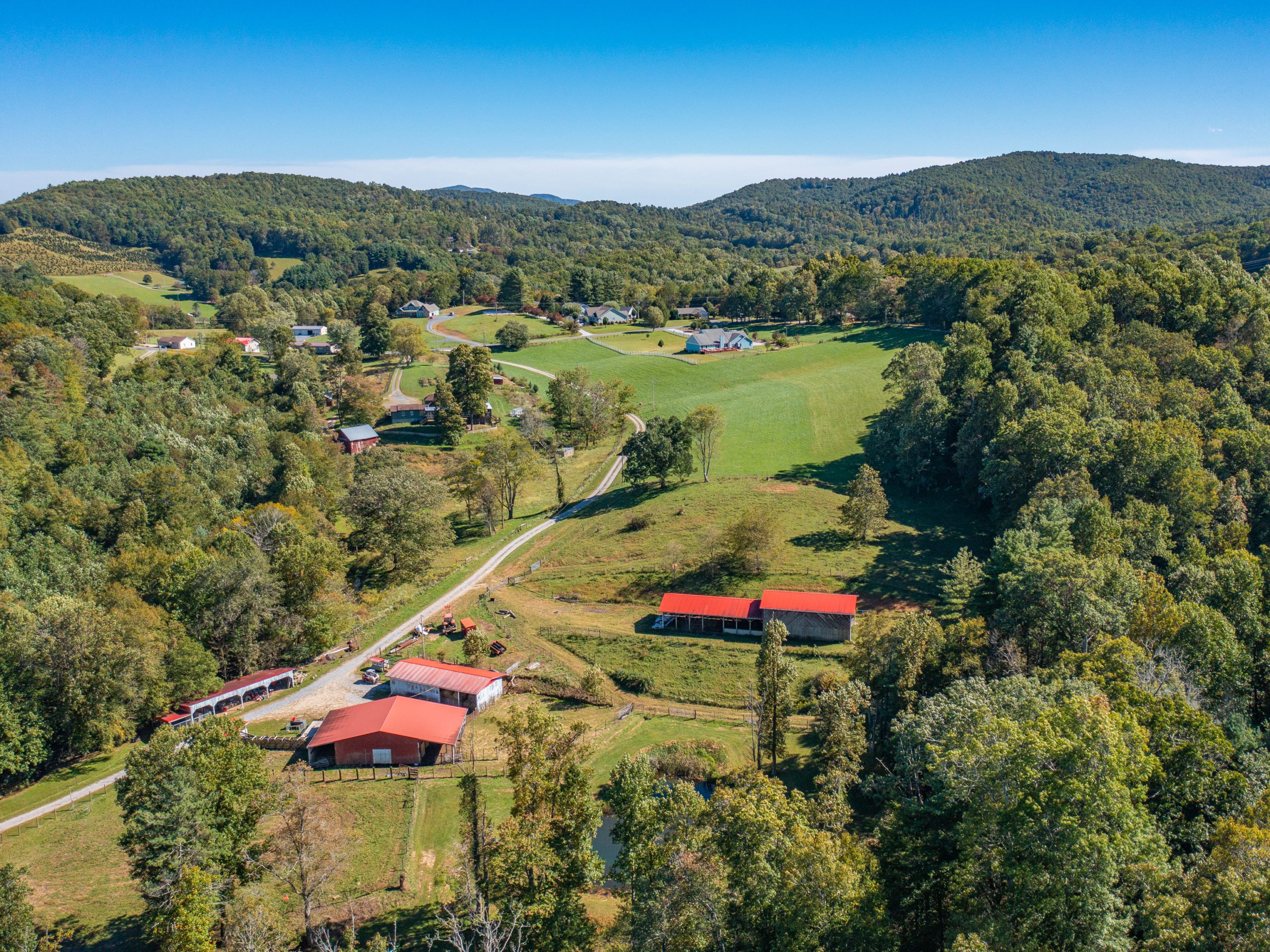
If you have land for sale in the Asheville or Burnsville area, let Trillivision take to the skies and give your prospective buyers a bird’s eye view of what your property has to offer. We take pride in our real estate drone photography work and offer the best quality packages around.
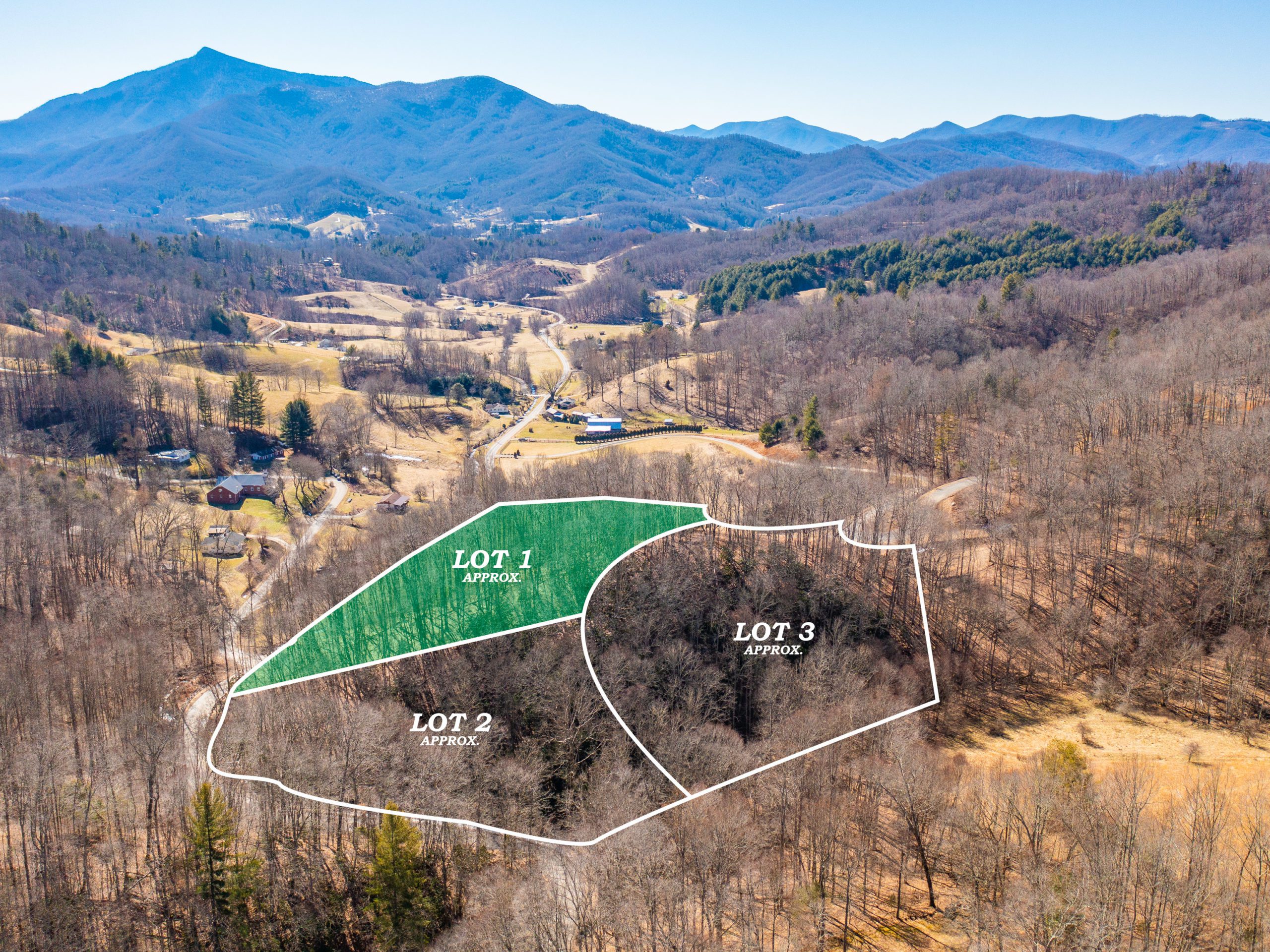
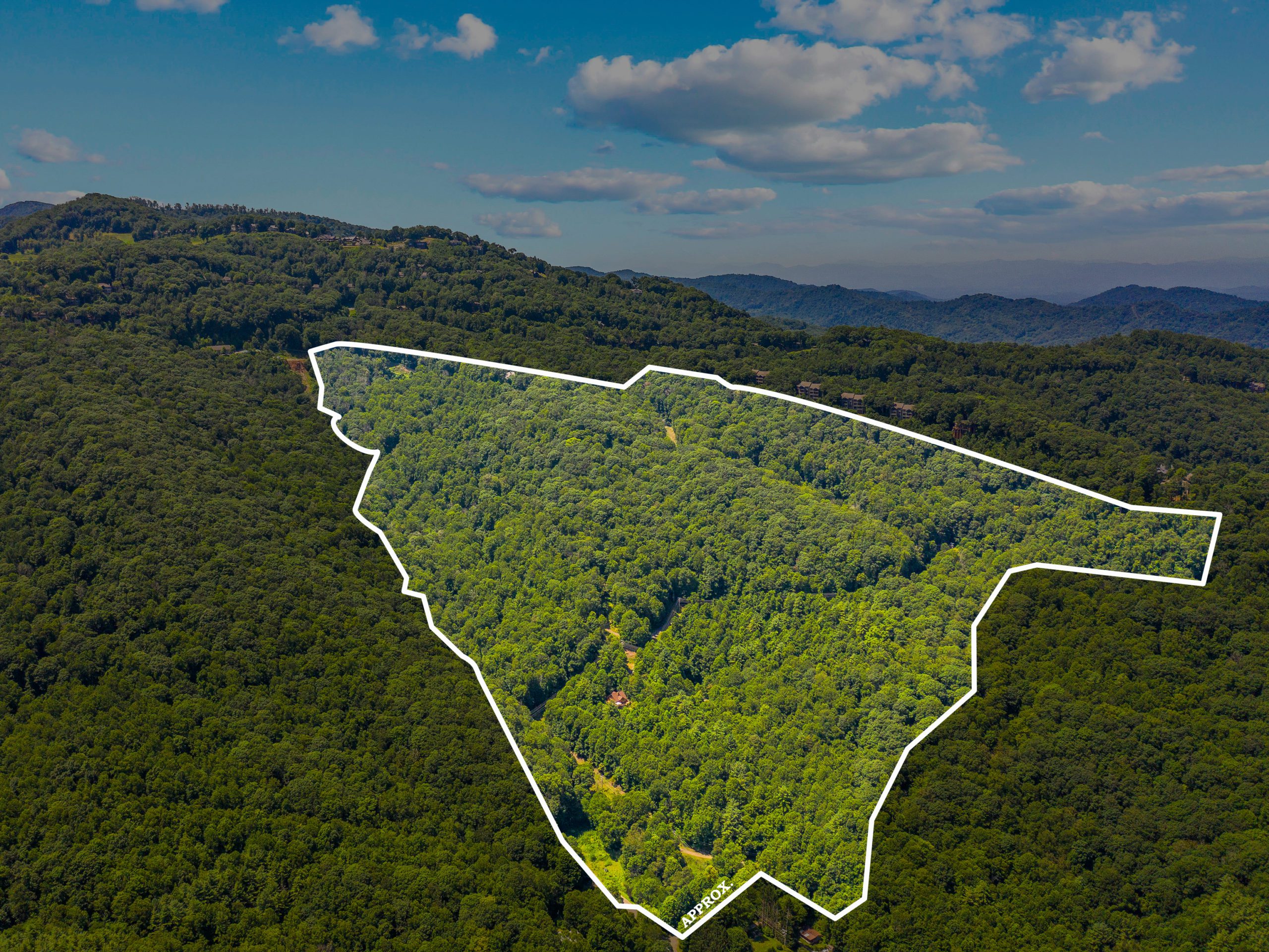
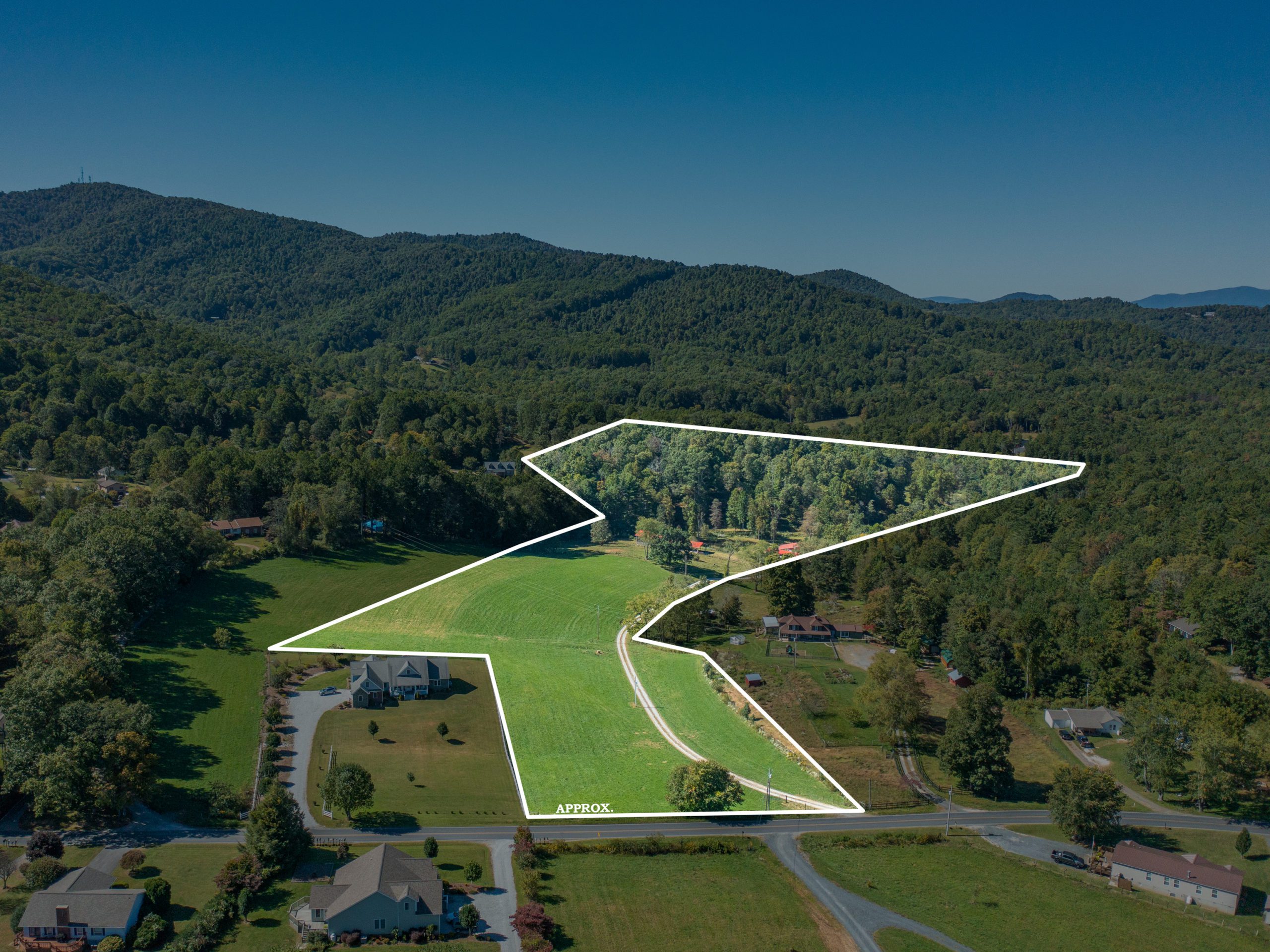
Using drone software developed with real estate in mind, we provide breathtaking photos with parcel boundary overlays to give you and your clients the best perspective on your land’s dimensions—efficiently and accurately.
With a licensed pilot drone operator since 2017, we’ve racked up more than 600 flights, more than 500 miles flown and in excess of 120 hours of flight time. You can choose Trillivision with confidence, as our drone operator is a photographer first and foremost. That means every flight path and aerial shoot is planned out with technical precision to generate the best views possible.
Trillivision uses the DJI Mavic Pro 2 for all of our drone flights. Our drone is small, stable, and includes focused features that make it perfect for real estate shoots and MLS marketing endeavors. You can expect video quality up to 4K and images of 20 megapixels. And with an inventory of batteries that each allow for 30 minutes of flight time, we ensure we have enough capacity to fly indefinitely and get the footage you need to make a sale.
Get on the cutting edge of real estate drone photography and make the deal you need to move your property. Contact us today to book a drone flight for your Western North Carolina real estate and commercial development projects.
To take a look at the quality of our real estate drone flights, visit our YouTube channel.